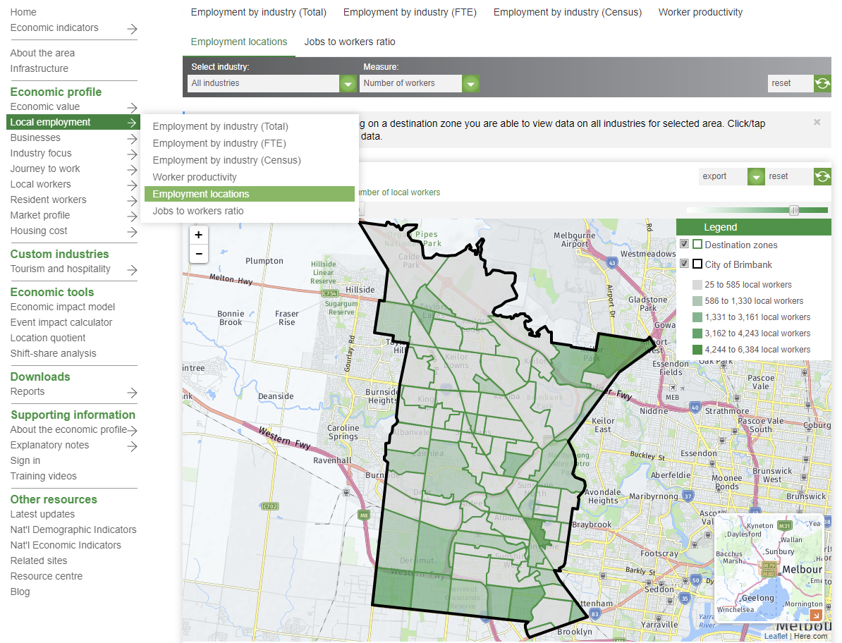
If your area subscribes to our economic profiles (economy.id), you can build a custom catchment for the areas of
We often get requests from economic development officers, local chambers of commerce or business associations for economic data for a particular precint within a council area, so they can demonstrate change and development in the cluster.
A typical question might be
How can I find the number of jobs/employees by sector or industry in the <commercial precint>?
How to extract economic data for a business precint using economy.id
- Open the economic profile for your area
- Navigate to the Employment locations page

3. Build a custom geography by clicking all small areas that make up the precint you're interested in.
4. Use the 'Select industry' menu at the top to show data for a specific industry. Show data for number of workers or value-added using the 'measure' drop-menu.
5. You can export a map and corresponding data table as images and excel files.
5. If your area also subscribes to our community profile and social atlas mapping tools, you can build a corresponding profile of population and dwellings.
